Read more equinoctial storm Severe wind and heavy rain that occurs at or near the time of an equinox. Read more
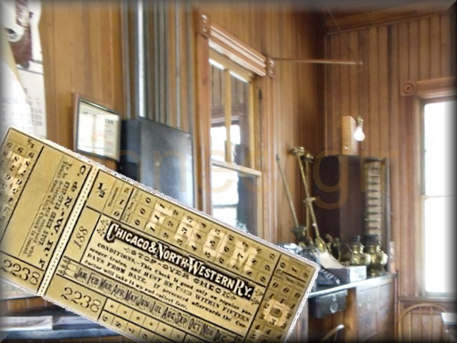
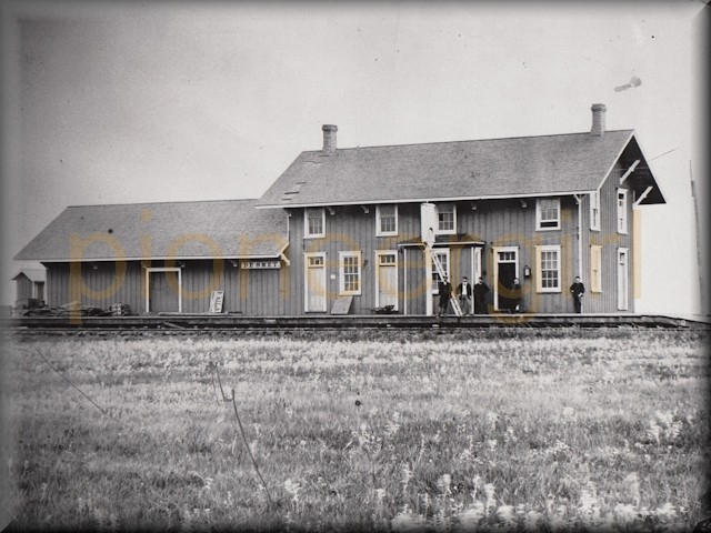
Read more By the Shores of Silver Lake – historical perspective Dakota Central comes to De Smet. Read more
Read more Spin-offs and Adaptations of the Little House Books Not by LIW, but kindred publications. Read more
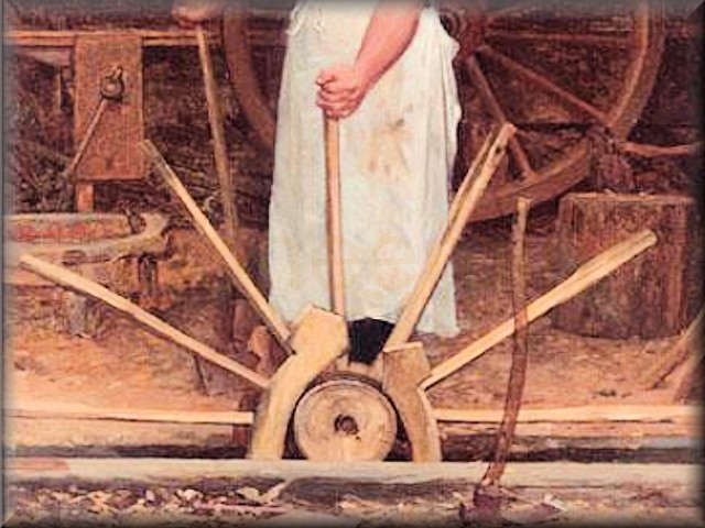
Read more butter tester Instrument used to remove core sample from a vat of butter, for the sake of testing. Read more
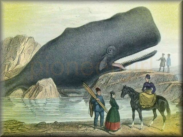
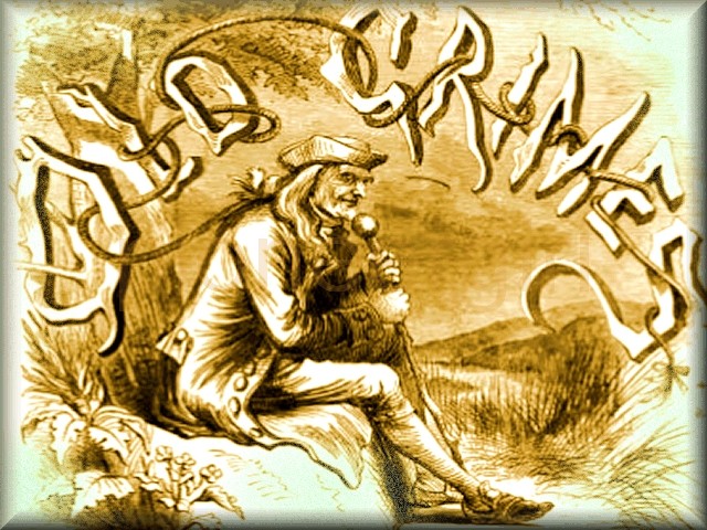
Read more bison / “The Bison Track” Bayard Taylor poem about Bos Americanus, found in Independent Fifth Reader. Read more
Read more Missouri Ruralist The Missouri Ruralist. A twice-monthly Missouri farm periodical... Read more
Read more cream of tartar / baking powder Byproduct of wine-making process, used in baking as leavening agent. Read more
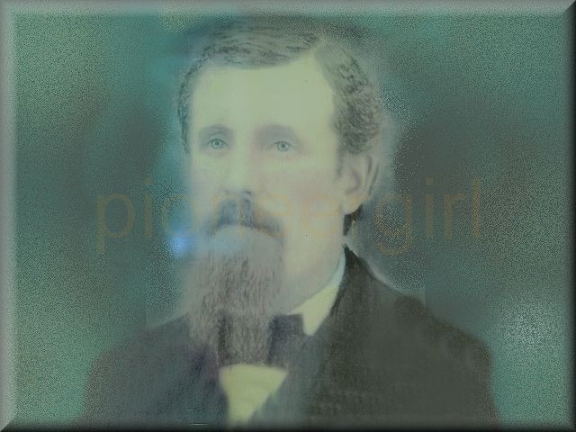
Read more Reverend Stewart Sheldon American Home Missionary Society Superintendent 1874-1886. Read more
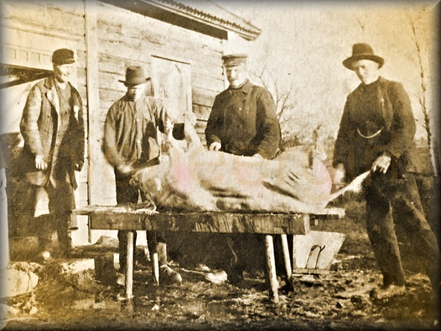
Read more Chariton County, Missouri Location of land purchased in 1868 by Charles Ingalls, Henry Quiner, and Tom Quiner. Read more
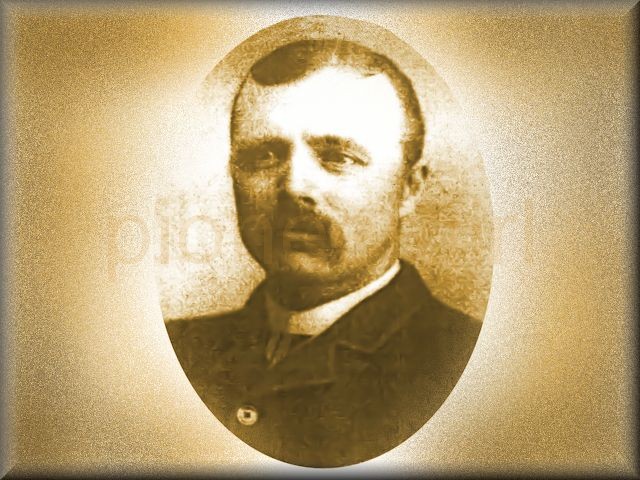
Read more Reverend Edward Brown Minister of the First Congregational Church of De Smet, 1880-1884. Read more
Read more South Troy / Zumbro Falls during the Little House years Ingallses lived here with Uncle Peter. Read more
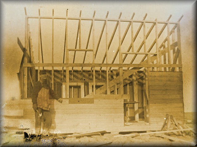
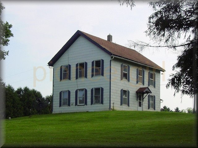
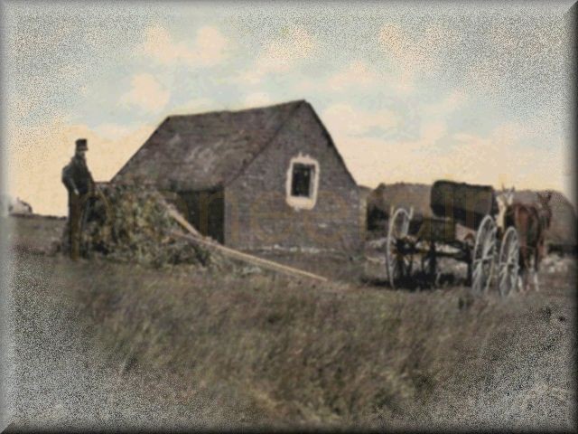
Read more wonderful house / frame house Wooden house built on Charles Ingalls’ Plum Creek preemption claim. Read more
Read more spelling / speller The order of letters in a word. / A book of exercises on the order of letters. Read more
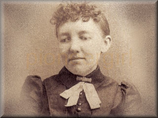
Read more Mary Amelia Ingalls First child of Caroline and Charles Ingalls, 1865-1928; she lost her sight at age 15. Read more
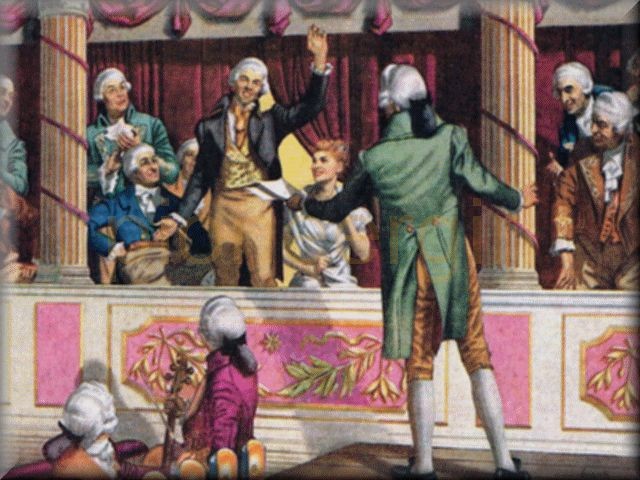
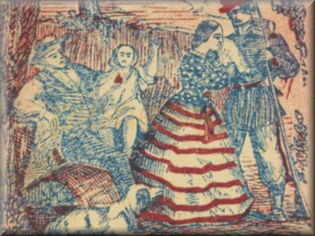
Read more cannon Military engine used for throwing balls and other instruments of death by the force of gunpowder. Read more
Read more spoon holder / spoon-holder / spoonholder Any vessel used to hold and display spoons. Read more
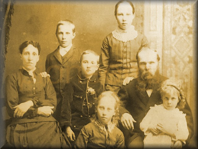
Read more Margaret Garland family / Cap Garland Family living behind the Ingallses in De Smet. Read more
Read more Governor of Orleans / The American Remount Association Registered stallion leased to Almanzo Wilder 1923-1925. Read more
Read more Edelbert Harthorn family / Frank Harthorn & Mabel Burd Father and son owners of early drygoods store in De Smet. Read more
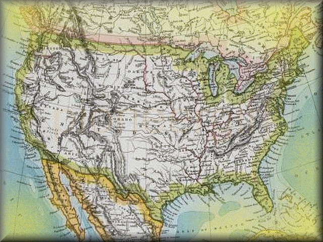
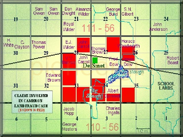
Read more quarter section / quarter-section One-fourth of a square mile, consisting of 160 acres. Read more